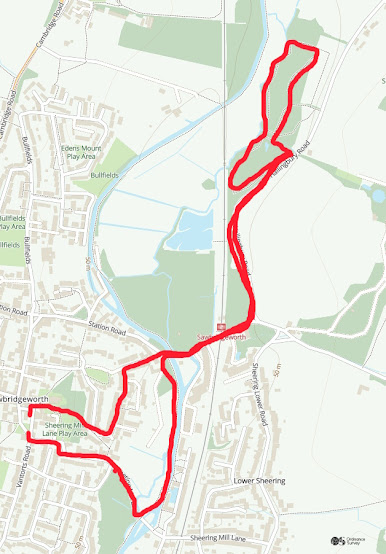
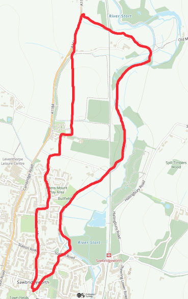
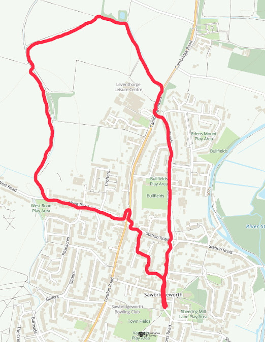
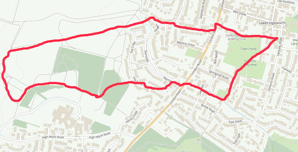
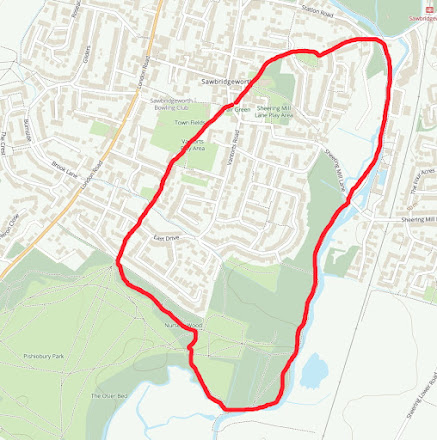
Walk 8. River and Harlow Marshes.
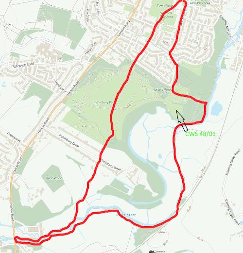
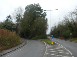
The idea of Nature Walks around Sawbridgeworth Parish is to make people aware of the wonderful wildlife resource we have locally and within walking distance. Each route is shown in a red line on an Ordnance Survey map. Theoretically, all start and finish at the Fair Green but you can of course drop in at any point. Rather then being told what to look for, I have just put pointers in along the route because I want people to look for themselves and make their own discoveries! This will mean much more to everyone! They are not intended as route marches so take your time and stop and look! All the routes follow Footpaths but inevitably, there are places where the walks have to cross roads. Do please take extreme care and follow all the safety guidelines to avoid accidents. County Wildlife sites are marked CWS and a code number. This walk is one of the longer ones. It will take you through Pishiobury Park, down to Harlow Mill and then along the river back to Saw...